Dig Deeper Blog
Exploring Insights, Innovations, and Trends in Geoscience and Geodata
Filter Blog Posts

A large part of our job at Orycta recently is to advise our clients on selecting the right soil investigation partner for data collection. And one pattern keeps repeating itself: The success of any design truly begins below ground.
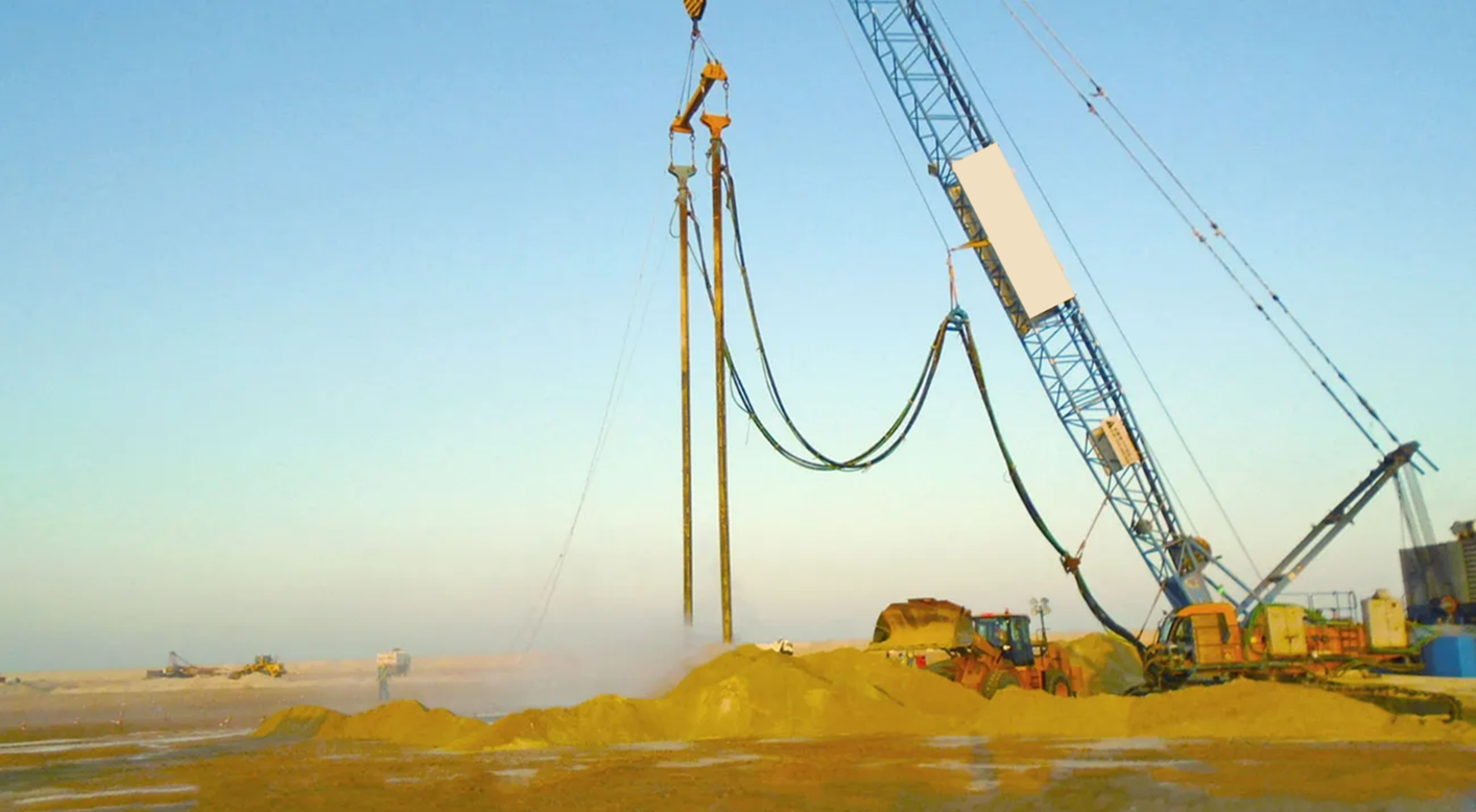
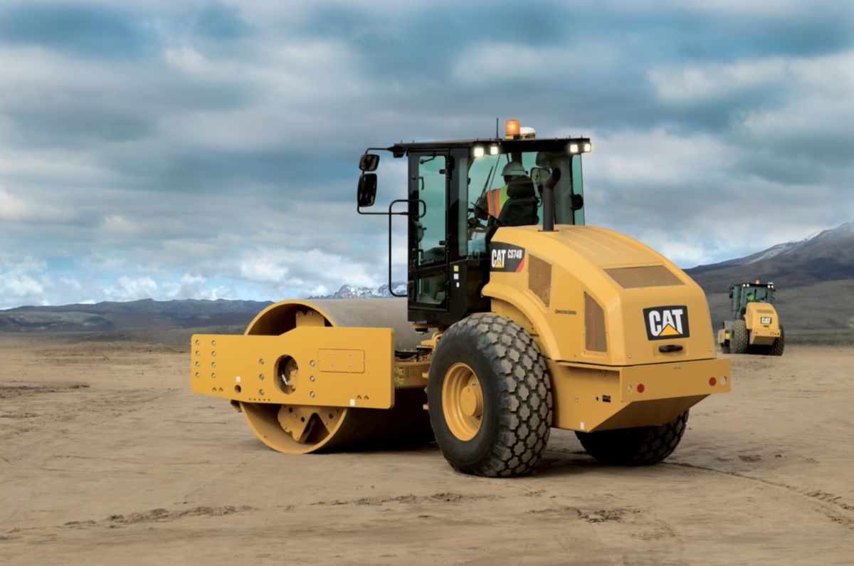
The execution of large-scale soil improvement works across the GCC has provided critical insights into the complexities of working with challenging geotechnical conditions in arid and coastal environments. One key lesson is the importance of tailoring improvement techniques, such as roller compaction, dynamic compaction, vibro-compaction, vibro-replacement and deep soil mixing, to site-specific soil profiles and conditions.

As geotechnical engineers, we spend countless hours reading, reviewing, and analyzing factual and interpretative reports. But how often do we truly look into our data? Dive into geotechnical data files with Orycta XPLORE.

Why bother digitizing your geotechnical data? Ensuring competitiveness in geotechnical engineering in an increasingly data-driven era.
Understanding relative density is essential when it comes to soil densification, particularly for cohesionless soils as it helps engineers make informed decisions about the need for densification and the methods required to achieve the desired soil stability for construction projects.
The Casagrande Plasticity Chart is a graphical tool used in geotechnical engineering to classify fine-grained soils based on their plasticity characteristics.

The challenges of programming and automation in engineering and construction

As digitization and visualization of geotechnical data become more and more relevant in today’s fast-paced projects, geotechnical engineers and geologists are increasingly required to deal with vast amounts of data and produce easy-to-read visualization graphs and models.