Beyond PDFs: Dive Beneath with Orycta XPLORE
Beyond PDFs: Dive Beneath with Orycta XPLORE
As geotechnical engineers, we spend countless hours reading, reviewing, and analyzing factual and interpretative reports. But how often do we truly look into our data?
How do we ensure the quality of the information we receive? How do we preserve and access this data years down the line? How do we verify that the data files match the PDF reports we're reading and that any corrections or comments we make in the PDFs are also reflected in the actual datasets? More importantly, how do we compare new geodata with historical records? How do we learn from our data?
Let’s face it, as geotechnical engineers we love PDFs. We might even print out parts of the report when we really need to focus and understand the subsurface. But PDFs were never designed to store or manipulate data; they were meant to present or print information, and they do this nicely.
Geotechnical data files (like AGS or DIGGS) are created by humans, often typists or - if you are lucky - junior geotechnical engineers. And guess what? When handling large datasets, whether it is 20 or 500 boreholes, typos, errors, and omissions are inevitable.
So next time you are reviewing a PDF report, ask yourself:
Do you actually have access to the raw data?
Have the mistakes in the data files been corrected, or are you just updating the PDF while the original dataset rests untouched on a hard drive?
How many “small” errors today will become major headaches tomorrow, reducing the reliability and long-term value of your data?
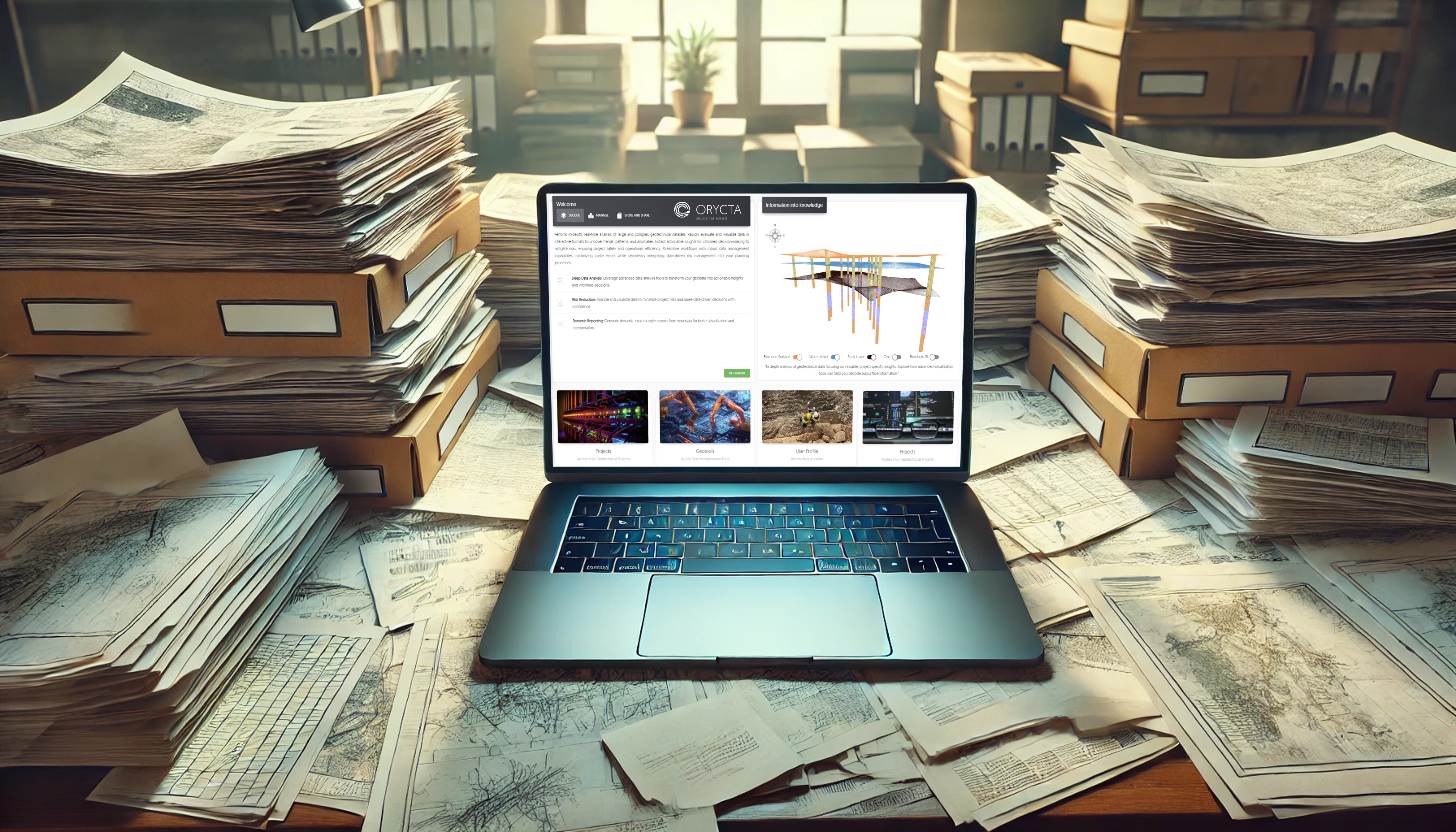
This post is not about the importance of data in the years to come. We “walk the talk” at Orycta. We recognize the importance of geotechnical data, and we have built the best platform out there to do just that: read your geotechnical data files and generate on the fly full reports, 3D visualizations, sections, graphs, you name it.
So now you have no excuses, but to start reviewing your actual geotechnical data files.
If it doesn’t matter today, it will tomorrow.
Access Orycta XPLORE here.