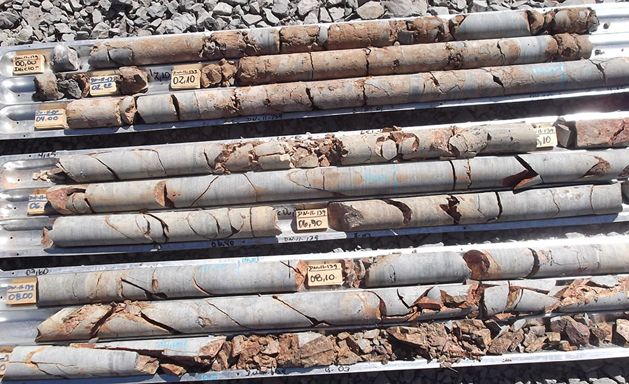
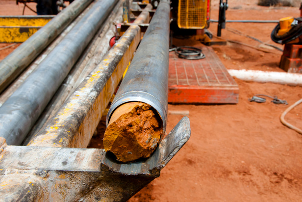
Geotechnical Intelligence and Data Management
Manage your geodata in a completely new way. Forget PDF reports and manual entries. XPLORE transforms fragmented geotechnical data into structured, searchable and interactive engineering insight.
Decode
On the fly, in depth analysis of large geotechnical data sets. Evaluate and view your data in a dynamic format, draw meaningful conclusions and limit geotechnical related risk for your projects.
Manage
Manage your geodata in a completely new way. Forget PDF reports and manual data entries. Use dynamic visualization, streamline and standarize reporting.
Store
Store your geodata in secure and centerlize cloud database. Harvest the power of deep data analysis and turn your current geodata into knowledge. Store to use, not to forget.
Share
Seemingly share your data and dynamic reports with other users. Enable strong collaborations and transfer knowledge and insights with a click of a button.
Replace uncertainty with insight.
Unlock the science of your geodata.
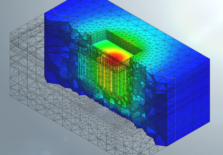
Orycta delivers advanced geotechnical analysis and independent, tailored engineering support for complex ground conditions and landmark projects. Our services extend across the full development lifecycle - from ground investigation review and feasibility assessment to nonlinear numerical modelling, foundation optimization and independent technical verification.

Recent Articles
Explore insights and innovations in geotechnical engineering and subsurface data.

Few red flags to identify whether your interpretative report belongs on your desk or in the bin

Reading Between the Lines of Bowles, Foundation Analysis and Design Book: Choosing the Right Elastic Modulus from SPT Correlations

As digitization and visualization of geotechnical data become more and more relevant in today’s fast-paced projects, geotechnical engineers and geologists are increasingly required to deal with vast amounts of data and produce easy-to-read visualization graphs and models.