Please wait

Turn Geotechnical Data into Interactive 3D Models and Actionable Insights

Orycta XPLORE is a transformative geo-intelligence platform designed to revolutionize how contractors, consultants, and engineers manage geodata. Built with user-friendly interfaces and advanced analytics, this platform empowers users to access, visualize, and interpret geotechnical data seamlessly.

Seamlessly share geotechnical data, interactive 3D ground models, and dynamic reports across teams. Enable efficient collaboration and structured knowledge transfer, transforming shared spatial insights into informed engineering decisions. Your ground data belongs in the cloud.

KEY FEATURES:

Data Management: Simplify storage and access with centralized, cloud-based solutions.

3D Visualization: Interactive tools to view and analyze soil and foundation data in a dynamic, immersive format.

Collaborative Sharing: Enable stakeholders to access real-time data and reports, enhancing transparency and teamwork.

Actionable Insights: Leverage AI-powered analytics to extract valuable, project-specific insights from complex datasets.

BENEFITS:

1. Enhance decision-making with accurate, actionable data.

2. Minimize project delays and risks through efficient data analysis.

3. Streamline reporting with customizable templates and dashboards.

4. Get regional knowledge from historical data and showcase to clients your expertise.

Frequently Asked Questions

We live in an era where innovation and technology are evolving at a rapid pace. Orycta Xplore aims to be a catalyst for this transformation, and we need your help and feedback to make it happen. Below is a list of frequently asked questions to help you better understand the importance of building your geo-database today

Yes, you can use Orycta XPLORE for free, even without registering. If you choose not to register, you can explore the platform and work with your data. However, your sessions and uploaded information will be automatically deleted after a limited period of time (typically 24 to 48 hours). By registering with a personal or work email address, you can save your projects and sessions, build and manage your geotechnical database, access your work at any time and continue your analysis without losing progress. For full access to all platform features, a paid subscription is available.
Organizations interested in setting up a company account can contact us by email to request additional information about available plans and enterprise options. Our team will be happy to assist with the setup process and help tailor the platform to your organization’s needs.
Please make sure that you have read and understood our terms and conditions before using Xplore platform. For any questions or queries please contact us at info@orycta.com.
Orycta is not the owner of your data by any means. You own your data and the responsibility of how you share your data through Xplore platform stays with you. Orycta will not try to benefit from or sell your data to third parties. We might however use your data internally to improve your experience as a user or improve our platform’s UI and engine.
Orycta XPLORE is a cutting-edge geo-intelligence platform designed for geotechnical engineers and organizations to store, manage, analyze, and share their geodata in one centralized environment. The platform enables in-depth analysis of factual geotechnical data, supported by advanced visualization tools, dynamic graphs, and comprehensive reporting features. It helps engineers and designers efficiently decode, interpret, and gain actionable insights from complex subsurface information, supporting better decision-making throughout the project lifecycle.
XPLORE is a project-based geo-intelligence database designed specifically for geotechnical workflows. Users can set up current or past projects, and the platform automatically generates the maps, graphs, and tables typically included in geotechnical reports. Unlike traditional static reports, every element within XPLORE is interactive and dynamic. The platform produces dynamic factual and interpretative graphs, automated reports, and fully interactive 2D and 3D visualizations. Users can visualize all boreholes within a 3D environment, instantly generate 2D cross-sections with a single click, and explore subsurface data in a far more intuitive way. XPLORE also enables seamless sharing and collaboration, allowing engineers, clients, and project teams to work together directly within the platform.
PLORE GeoTools are integrated analytical tools designed to support advanced geotechnical interpretation and data validation. They allow engineers to perform specialized calculations and assessments directly within the platform, ensuring that factual data, interpretative models, and visual outputs remain fully connected and dynamically updated. By combining database management, visualization, and analytical tools in one environment, XPLORE reduces manual processing, minimizes errors and streamlines geotechnical workflows.
Unlike traditional geotechnical software that generates static reports and requires multiple disconnected tools, XPLORE is an integrated, project-based geo-intelligence platform. All data, graphs, maps, and interpretations remain dynamically linked and automatically update as your dataset evolves. Instead of producing fixed outputs, XPLORE delivers interactive reports, real-time 2D and 3D visualizations, and fully connected analytical tools within one environment. This reduces manual processing, minimizes errors, and streamlines the entire geotechnical workflow.
XPLORE offers AI-driven capabilities exclusively within its paid subscription plans. These features enhance data interpretation, automate analytical processes, and support more advanced geotechnical insights. At its core, XPLORE is built to serve as your foundation for AI-driven analysis. By structuring, centralizing, and continuously organizing geotechnical data within a unified environment, the platform enables intelligent workflows and prepares your projects for advanced analytics and future automation. To fully benefit from AI, you must begin by digitizing and structuring your geotechnical data, one project at a time. XPLORE provides the foundation to make that transformation possible.
ORYCTA XPLORE | Geotechnical Data & Analytics Platform

ORYCTA XPLORE is a geotechnical data and analytics platform for storing, managing, analyzing and sharing geotechnical data (boreholes, CPTs, geophysical data) to build project knowledge and regional expertise.

General Geotechnical Data Tools

General geotechnical data tools for AGS validation and conversion, data processing, and 2D/3D visualization, enabling reliable workflows from raw investigation data to engineering-ready outputs.

Geotechnical Interpretation Tools

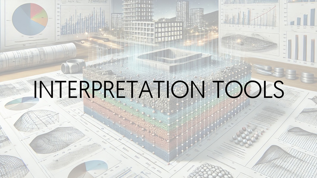
Advanced geotechnical interpretation tools for analyzing and visualizing borehole, CPT, and geophysical data, with AI-assisted workflows supporting engineering judgement, subsurface characterization, and design decisions.